Description
Disclaimer: Copyright infringement not intended.
In News
- Agasthyarkoodam situated in the Western Ghats housed an observatory once.
- It was established by Scottish meteorologist John Allan Broun.
- Allan Broun used the observatory to record magnetic and meteorological observations in tandem with the Thiruvananthapuram astronomical observatory.
- Broun’s astronomical research in India with Thiruvananthapuram observatory. As terrestrial magnetism research requires simultaneous measurements from two different locations, he established his second observatory at Agasthyar mountain at a height of 6,200 ft above sea level.
- The observatory started recording observations in July 1855. However, it was closed in 1881 by the then Madras Governor Sir William Denison.
.jpeg)
Magnetic Observatory
- Magnetic observatories continuously measure and record Earth’s magnetic field at a number of locations.
- In an observatory of this sort, magnetized needles with reflecting mirrors are suspended by quartz fibres.
- Light beams reflected from the mirrors are imaged on a photographic negative mounted on a rotating drum.
- Variations in the field cause corresponding deflections on the negative.
- Typical scale factors for such observatories correspond to 2–10 nanoteslas per millimetre vertically and 20 millimetres per hour horizontally. A print of the developed negative is called a magnetogram.
Note: A magnetogram is an image taken by an instrument (magnetograph) that shows the strength, polarity, and location of the magnetic fields.
Applications of Magnetic Observatory
- Magnetic observatories have recorded data in this manner for well over 100 years. Their magnetograms are photographed on microfilm and submitted to world data centres, where they are available for scientific or practical use.
- Such applications include the creation of world magnetic maps for navigation and surveying; correction of data obtained in air, land, and sea surveys for mineral and oil deposits; and scientific studies of the interaction of the Sun with Earth.

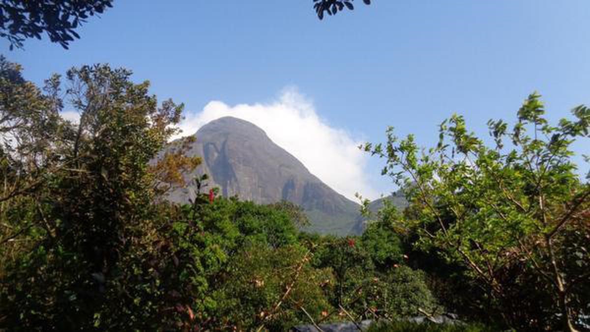
Agastyaarkoodam peak
- Agastyaarkoodam peak lies in the border between the Indian states of Tamil Nadu, Tirunelveli district and Kerala, Thiruvananthapuram district. It is 1,868-metres (6,129 ft) tall. This peak is a part of the Agasthyamala Biosphere Reserve.
- The perennial Thamirabarani River originates from the eastern side of the range and flows into the Tirunelveli district of Tamil Nadu. Other major rivers which originate from the mountain are the Karamana River.
- Agastyaarkoodam is 32 km from Neyyar Dam.
- Kalakkad Mundanthurai Tiger Reserve is part of the Agastyaarkoodam range.
- Agasthyamala Biosphere Reserve is among 20 new sites added by UNESCO to its World Network of Biosphere Reserves in March 2016.


https://www.thehindu.com/news/national/kerala/tracing-the-origins-of-a-lost-observatory/article66496979.ece


