Description
Disclaimer: Copyright infringement not intended
Context: Supreme Court Asks CEC to Examine Issues Related To Mining in Aravali Hills
Details
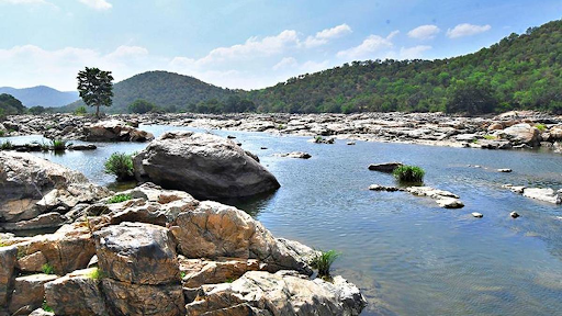
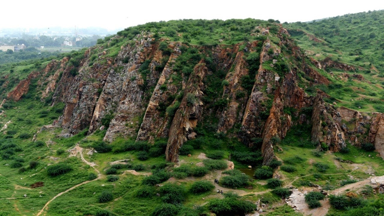
- The Aravalli Range is a mountain range in Northern-Western India, running approximately 670 km (420 mi) in a south-west direction, starting near Delhi, passing through southern Haryana, Rajasthan, and ending in Ahmedabad Gujarat.
- The highest peak is Guru Shikhar on Mount Abu at 1,722 m (5,650 ft).
- The Aravalli Range is arguably the oldest geological feature on Earth, having its origin in the Proterozoic era.
Geology
- The Aravalli Range, an eroded stub of ancient mountains, is believed to be the oldest range of Fold Mountains in India.
- The mountains are divided into two, main ranges – the Sambhar Sirohi Rangeand the Sambhar Khetri Range in Rajasthan, where their extension is about 560 km.
- The range rose in a Precambrian event called the Aravalli-Delhi Orogen.
- The Aravalli Range is a northeast–southwest trending orogenic belt located in the northwestern part of Indian Peninsula. It is part of the Indian Shield that formed from a series of cratonic collisions.
- In ancient times, Aravalli were extremely high but since have worn down almost completely from millions of years of weathering.
- Aravalli have stopped growing higher due to the cessation of upward thrust caused by the tectonic plates in the Earth's crust below them.
Minerals
- Lithology of area shows that the base rocks of Aravalli are of Mewar Gneiss formed by high-grade regional metamorphic processes from preexisting formations that were originally sedimentary rock with earliest life form that were formed during the archean eon, these contain fossils of unicellular organism such as green algae and cyanobacteria in stromatolitic carbonate ocean reefs formed during the paleoproterozoic era.
- Metal sulfide ores, zinc sulfide ores, zinc-lead-copper sulfides and commercially viable quantities of minerals, such as rock phosphate, lead-zinc-silver mineral deposits at Zawar, Rikahbdev serpentinite, talc, pyrophyllite, asbestos, apatite, kyanite and beryl produced during subduction.

Mining
- Mining of copper and other metals in the Aravalli range dates back to at least the 5th century BCE, based on carbon dating.
- Recent research indicates that copper was already mined here during the Sothi-Siswal period going back to c. 4000 BCE. Ancient Kalibangan and Kunal, Haryana settlements obtained copper here
Geographical features
- The Aravalli Craton (Marwar-Mewar Craton or Western Indian Craton) covers Rajasthan as well as western and southern Haryana.
- It includes the Mewar Craton in the east and Marwar Craton in the west.
- It is limited by the Great Boundary Fault in the east, the Thar desert in the west, Indo-gangetic alluvium in the north, and the Son River-Narmada River-Tapti River basins in the south.
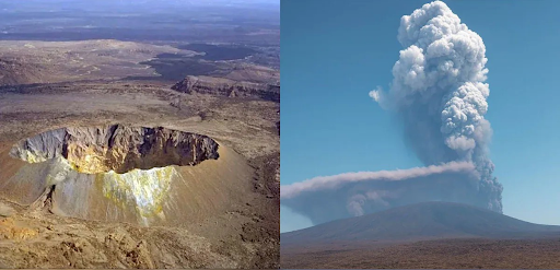
- It mainly has quartzite, marble, pelite, greywacke and extinct volcanos exposed in the Aravalli-Delhi Orogen. Malani Igneous Suite is the largest in India and third largest igneous suit in the world.
- The uniqueness of the geological feature of Malani Igneous Suite at Jodhpur prompted the Geological Survey of India to declare the site as a National Geological Monument.
Climate
- The Northern Aravalli range in Delhi and Haryana has humid subtropical climate and hot semi-arid continental climate with very hot summers and relatively cool winters.
- The Central Aravalli range in Rajasthan has an arid and dry climate.
- The Southern Aravalli range in Gujarat has a tropical wet and dry climate
Rivers
- Three major rivers and their tributaries flow from the Aravalli, namely Banas and Sahibi rivers which are tributaries of Yamuna, as well as Luni River which flows into the Rann of Kutch.
- North-to-south flowing rivers originate from the western slopes of the Aravalli range in Rajasthan, pass through the southeastern portion of the Thar Desert, and end into Gujarat.
- Luni River, originates in the Pushkar valley near Ajmer, ends in the marshy lands of Rann of Kutch. It used to be one of the channel of the Saraswati River, as a result its banks have several Indus Valley civilisation sites including Lothal.
- Sakhi River, ends in the marshy lands of Rann of Kutch.
- Sabarmati River, originates on the western slopes of Aravalli range of the Udaipur District, end into the Gulf of Khambhat of the Arabian Sea.
- West to north-west flowing rivers originate from the western slopes of the Aravalli range in Rajasthan, flow through semi-arid historical Shekhawati region and drain into southern Haryana. Several Ochre Coloured Pottery culture sites, also identified as late Harappan phase of Indus Valley civilisation culture,[33] have been found along the banks of these rivers.
- Sahibi River, originates near Manoharpur in Sikar district flows through Haryana and meets its confluence with the Yamuna in Delhi where it is called Najafgarh drain, along with its following tributaries: Masani barrage, is an important wildlife area.
- Dohan river, tributary of the Sahibi River, originates near Neem Ka Thana in Sikar district).
- Sota River, tributary of the Sahibi River with which it merges at Behror in Alwar district.
- Krishnavati river, former tributary of Sahibi river, originates near Dariba copper mines in Rajsamand district of Rajasthan, flows through Patan in Dausa district and Mothooka in Alwar district, then disappears in Mahendragarh district in Haryana much before reaching Sahibi River.
- West to north-east flowing rivers, originating from the eastern slopes of Aravalli range in Rajasthan, flow northwards to Yamuna.
- Chambal River, a southern-side tributary of Yamuna River.
- Banas River, a northern-side tributary of Chambal River.
- Berach River, a southern-side tributary of Banas River, originates in the hills of Udaipur District.
- Ahar River, a right-side (or eastern side) tributary of the Berach river, originates in the hills of Udaipur District, flows through Udaipur city forming the famous Lake Pichola.
- Wagli River, a right-side tributary of the Berach River.
- Wagon River, a right-side tributary of the Berach River.
- Gambhiri River, a right-side tributary of the Berach River.
- Orai River, a right-side tributary of the Berach River.
Ecology
- The Great Green Wall of Aravalli" is a 1,600 km long and 5 km wide green ecological corridor along Aravalli range from Gujarat to Delhi, it will be connected to Shivalik hill range and 1.35 billion (135 crore) new native trees will be planted over 10 years to rehabilitate the forest cover in this area.
- To be implemented on a concept similar to the Great Green Wall of Sahara in Africa, it will act as a buffer against pollution, 51% of which is caused by the industrial pollution, 27% by vehicles, 8% by crop burning and 5% by diwali fireworks.
- Important habitat for the Indian leopards and jackals of Aravalli.
- Southern Aravalli leopard wildlife corridor: This corridor runs from Sariska and Ranthmbor to Rann of Kutch National Park and Gir National Park in Gujarat.
- The Aravalli Range is rich in wildlife includes leopards, striped hyena, golden jackal, nilgai , palm civet, wild pig , rhesus macaque , peafowl and Indian crested porcupine .
- The Aravalli Range has several forests with a diversity of environment.

Concerns
- Damage to the environment and ecology from the unorganized urbanization, overexploitation of the natural resources including water and minerals, mining, untreated human waste and disposal, pollution, loss of forest cover and wildlife habitat, unprotected status of most of the Aravalli and the lack of an integrated Aravalli management agency are the major causes of concern.
|
PRACTICE QUESTION
Consider the following statements:
- Aravalli restricts the eastward expansion of the desert.
- All the rivers of Rajasthan have their origin from Aravalli.
- Distributional pattern of rainfall in Rajasthan is not affected by Aravalli.
- Aravalli region is rich in metallic minerals.
Select the correct answer using the code given below:
- 1, 2 and 3 are correct.
- 2, 3 and 4 are correct.
- Only 3 and 4 are correct.
- Only 1 and 4 are correct.
Answer 4
|


