
Disclaimer: Copyright infringement is not intended.
Context:
The Copernicus Emergency Management Service (EMS)
Source:
|
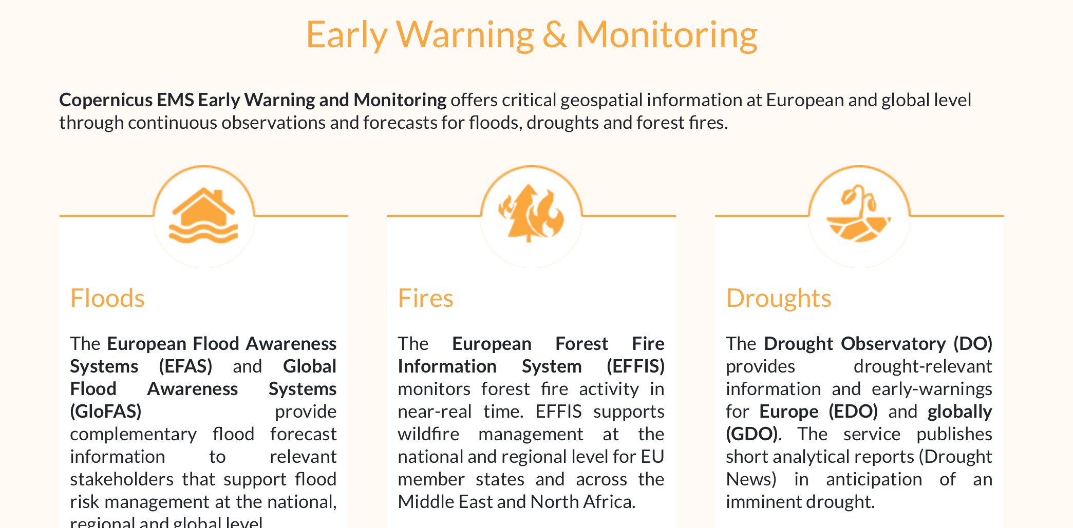
PRACTICE QUESTION Q) Consider the following statements about the Copernicus Emergency Management Service (EMS): a) The EMS is funded by the United Nations for providing geospatial information for disaster management. b) It primarily focuses on providing forecasts for earthquakes and tsunamis. c) The EMS offers mapping products based on satellite imagery and provides early warning products for forest fires, floods, and droughts. d) The EMS does not provide access to open data sources. Answer: c) Statement 1 is incorrect: While the EMS does provide geospatial information for disaster management, it is not funded by the United Nations. Instead, it is funded by the European Commission (EU) as part of the Copernicus program, Europe's Earth observation program aimed at monitoring and understanding our planet's environment. Statement 2 is incorrect: While the EMS does provide forecasts and information related to various natural disasters, including earthquakes and tsunamis, its primary focus is not solely on these events. The EMS covers a broader range of disasters, including floods, droughts, forest fires, and other emergencies. Statement 3 is correct: The EMS does indeed provide mapping products based on satellite imagery, enabling accurate visualization and analysis of disaster-affected areas. Additionally, it offers early warning products specifically tailored to various types of disasters, including forest fires, floods, and droughts. These early warning products help authorities and communities prepare for and respond to potential disasters. Statement 4 incorrect: The EMS does provide access to open data sources, including satellite imagery and in-situ data. Open data access is essential for facilitating collaboration and information sharing among stakeholders involved in emergency management. By providing access to open data sources, the EMS enhances transparency, fosters innovation, and supports effective decision-making in disaster response and preparedness efforts. |


© 2025 iasgyan. All right reserved