At least 420 million hectares forest lost since 1990: FRA Remote Sensing Survey.
Findings
A little more than half of global forests (52.3 per cent) has been converted to cropland; another 37.5 per cent was lost to livestock grazing between 2000 and 2018. Around 5.6 per cent of forest was converted for urban and infrastructure development and 4.6 per cent to other causes.
Most of the deforestation was in the tropical biomes during 2000-2018, according to the Food and Agriculture Organization (FAO) of the United Nations Global Forest Resources Assessment (FRA) 2020 Remote Sensing Survey.
A total of 420 million hectares of forest has been lost since 1990, the survey said. The survey confirmed the slowdown in global deforestation, according to the Global Forest Resources Assessment 2020.
The survey flagged that almost 90 per cent of deforestation worldwide was due to agricultural expansion.
Slowdown was reported in South America and south and south-east Asia; tropical rainforests in these regions recorded the highest deforestation rates of all biomes.
Deforestation Drivers
Among the main deforestation drivers differ across the world’s regions are:
Agriculture is the main driver of deforestation in all regions except Europe, where urban and infrastructure development have a higher impact
Conversion to cropland dominates forest loss in Africa and Asia, with over 75 per cent of the forest area lost converted to cropland
In South America, almost three quarters of deforestation was due to livestock grazing
Initiatives being taken
Increasing agricultural food productivity to meet the demands of a growing population and halting deforestation are not mutually exclusive objectives.
More than 20 developing countries have already shown that it is possible to do so.
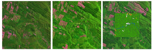
FRA 2020 Remote Sensing Survey was launched in 2018. The objectives are two-fold:
To build country capacities to use remote sensing for forest monitoring
To generate independent, robust and consistent estimates of forest area and its changes over time at global, regional and biome levels.