Disclaimer: Copyright infringement not intended.
Context
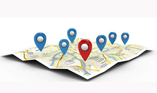
Geo-Tagging
Mechanism of Geo-Tagging:
Geo-Tagging of Properties:

Significance and Benefits:
Challenges and Concerns:
Property Geo-Tagging in Delhi:
|
PRACTICE QUESTION Q. Geotagging, as applied in technology, involves the allocation of geographic coordinates to various types of media. What is the primary technology utilized for automatic geotagging in most smartphones and digital cameras? A. RFID (Radio-Frequency Identification) B. NFC (Near Field Communication) C. GPS (Global Positioning System) D. QR Code (Quick Response Code) Answer: C. GPS (Global Positioning System) Explanation: Geotagging is the process of assigning geographic coordinates to media, such as photos or videos, based on the location of a mobile device. In the context of smartphones and digital cameras, the most common technology used for automatic geotagging is GPS (Global Positioning System). GPS is a satellite-based navigation system that provides accurate location and time information to a GPS receiver. Most modern smartphones and digital cameras come equipped with GPS technology, allowing them to automatically capture and embed geographical coordinates (latitude and longitude) in the metadata of photos or other media. This feature enables users to associate a specific location with their images, providing context and additional information. In the case of geotagging properties, the technology helps map a property with unique and permanent coordinates, facilitating various applications such as urban planning, tax collection, and emergency response. |


© 2025 iasgyan. All right reserved
