Description
Disclaimer: Copyright infringement not intended.
Context
- In crisis mitigation, GIS technology plays a pivotal role by providing essential tools for data collection, analysis, and visualization, which aids in risk assessment, and identification.
Details
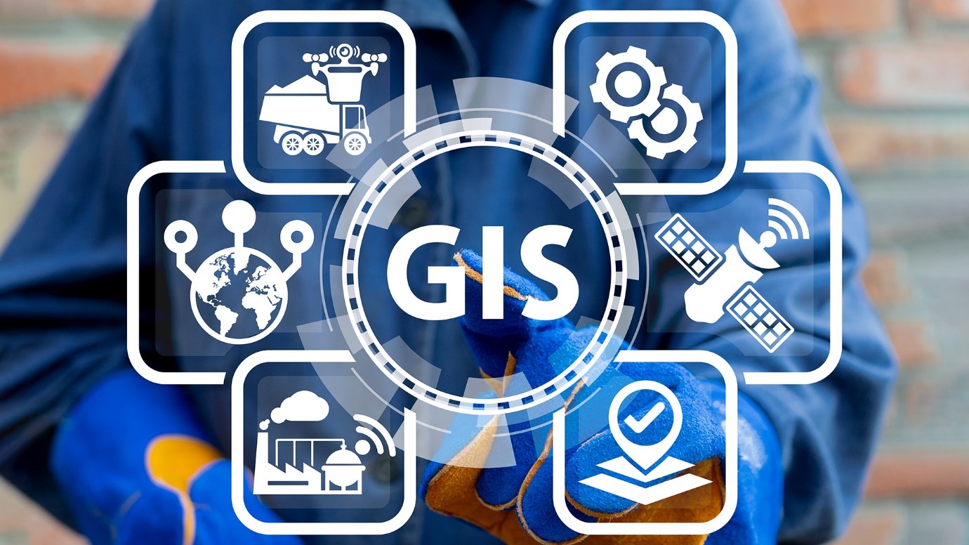
About Geospatial Technology
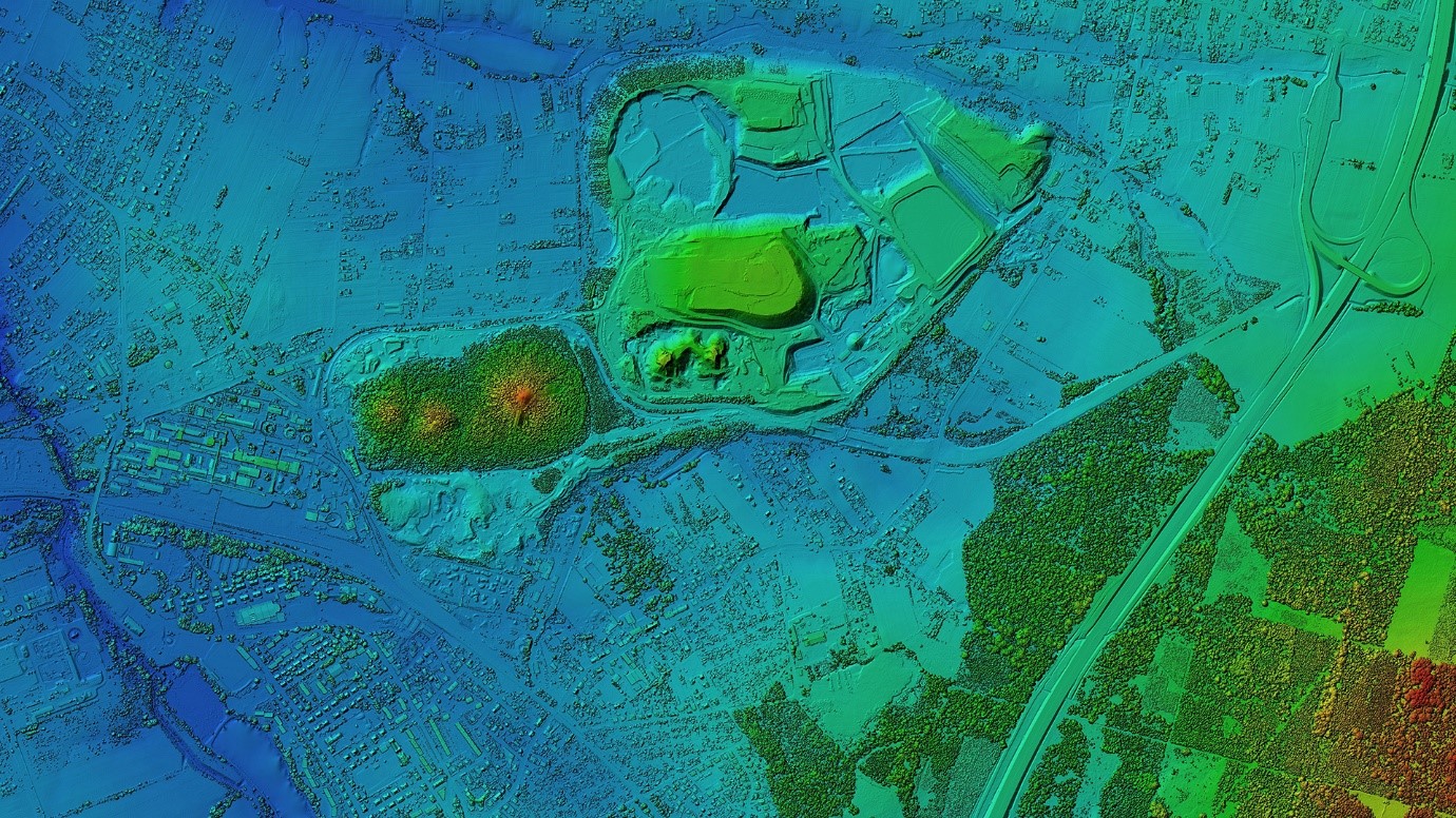
- For geographic mapping and analysis, geospatial technology employs techniques such as GIS (Geographic Information System), GPS (Global Positioning System), and Remote Sensing.
- These tools collect spatial data about things, events, and phenomena (indexed to their geographical location on the planet, geotag).
- Location data can be either static or dynamic.
- Static location data include the position of a road, an earthquake occurrence, or malnutrition among children in a certain region, whereas dynamic location data include information about a moving vehicle or pedestrian, the spread of an infectious illness, and so on.
- The technology could be used to produce intelligent maps to aid in the identification of spatial patterns in massive amounts of data.
- The technology makes it easier to make decisions based on the importance and priority of scarce resources.

Geospatial Sector in India
- The Survey of India (SoI), the Indian Space Research Organization (ISRO), Remote Sensing Application Centres (RSACs), and the National Informatics Centre (NIC) in particular, as well as other ministries and departments in general, have a rich geospatial ecosystem.
- Defense and intelligence (14.05%), urban development (12.93%), and utilities (11%) divisions dominated the geospatial market in 2021, accounting for 98% of the total geospatial market.
- In 2021, the Ministry of Science and Technology issued new guidelines for India's Geo-Spatial Sector, which deregulated old protocols and liberalized the sector to make it more competitive.
Technologies Under GT
- Remote Sensing: Detecting/monitoring the physical characteristics of an area typically from satellite or aircraft
- Global Positioning System (GPS): A satellite navigation system to determine the ground position of an object
- 3D Modelling: Creating three-dimensional representations of an object or a surface
- Geographic Information System (GIS): A computer system for capturing, storing and displaying data related to positions on Earth’s surface.
Applications of GT
- Climate Change and Disaster Management (Ex-Advance Warnings)
- Earth Observation Capabilities (Ex- Vegetation, water quality)
- Healthcare (Ex- Monitoring contact tracing)
- Societal Problems (Ex- Education, livelihood, financial inclusion)
- Logistics (Ex- Tracking goods)
- Real estate (Ex- Analyzing real estate objects remotely)
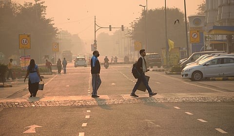
Disaster Management Using Geospatial Technology
- By leveraging geospatial technologies that amalgamate GIS capabilities with remote sensing techniques, decision-makers can significantly improve resource allocation strategies and coordination efforts during emergencies—ultimately saving lives while mitigating the impacts of natural disasters.
GIS in crisis mitigation
- In crisis mitigation, GIS technology plays a pivotal role by providing essential tools for data collection, analysis, and visualization, which aids in risk assessment, identification of high-risk zones, vulnerability analysis, and developing robust disaster management plans.
- The utilization of these geospatial technologies enables authorities to predict potential hazards accurately and identify areas at maximum risk.
- By conducting comprehensive risk assessments using GIS-based mapping techniques and monitoring systems, organizations can determine how susceptible different regions are to various disasters.
- This information can be used to prioritize resources effectively and devise preemptive measures accordingly.
- Furthermore, GIS technology’s ability to gather real-time data during an event becomes invaluable in managing ongoing crises.
- It facilitates immediate response strategies by creating situation maps that identify affected areas quickly while estimating population density and locating evacuation routes efficiently.
- Post-disaster assessment is another crucial aspect where GIS provides significant assistance.
- Through spatial analysis of the affected region post-event, helps evaluate the extent of damage quantitatively and qualitatively.
- This data can facilitate prioritizing recovery efforts based on severity levels while ensuring efficient allocation of resources for reconstruction projects.
- Ultimately, these capabilities highlight how integral GIS is to effective disaster planning and management processes.
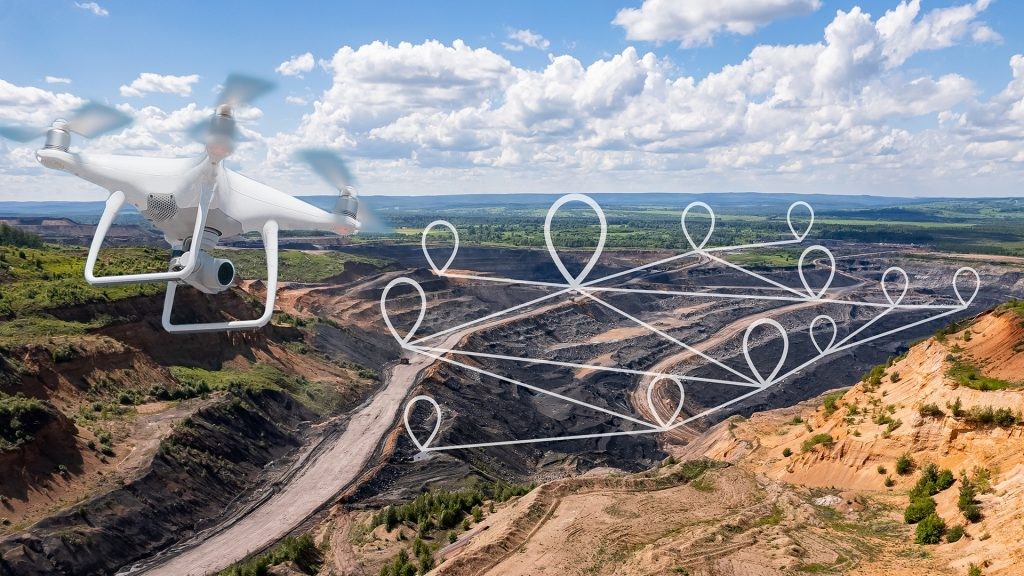
Remote sensing utility
- Remarkably, remote sensing can deliver up-to-date and high-resolution visual data of disaster-affected areas, with studies showing that its use can reduce emergency response times by up to 20%.
- It plays a crucial role in both pre-disaster planning and post-disaster management by providing essential geospatial analysis.
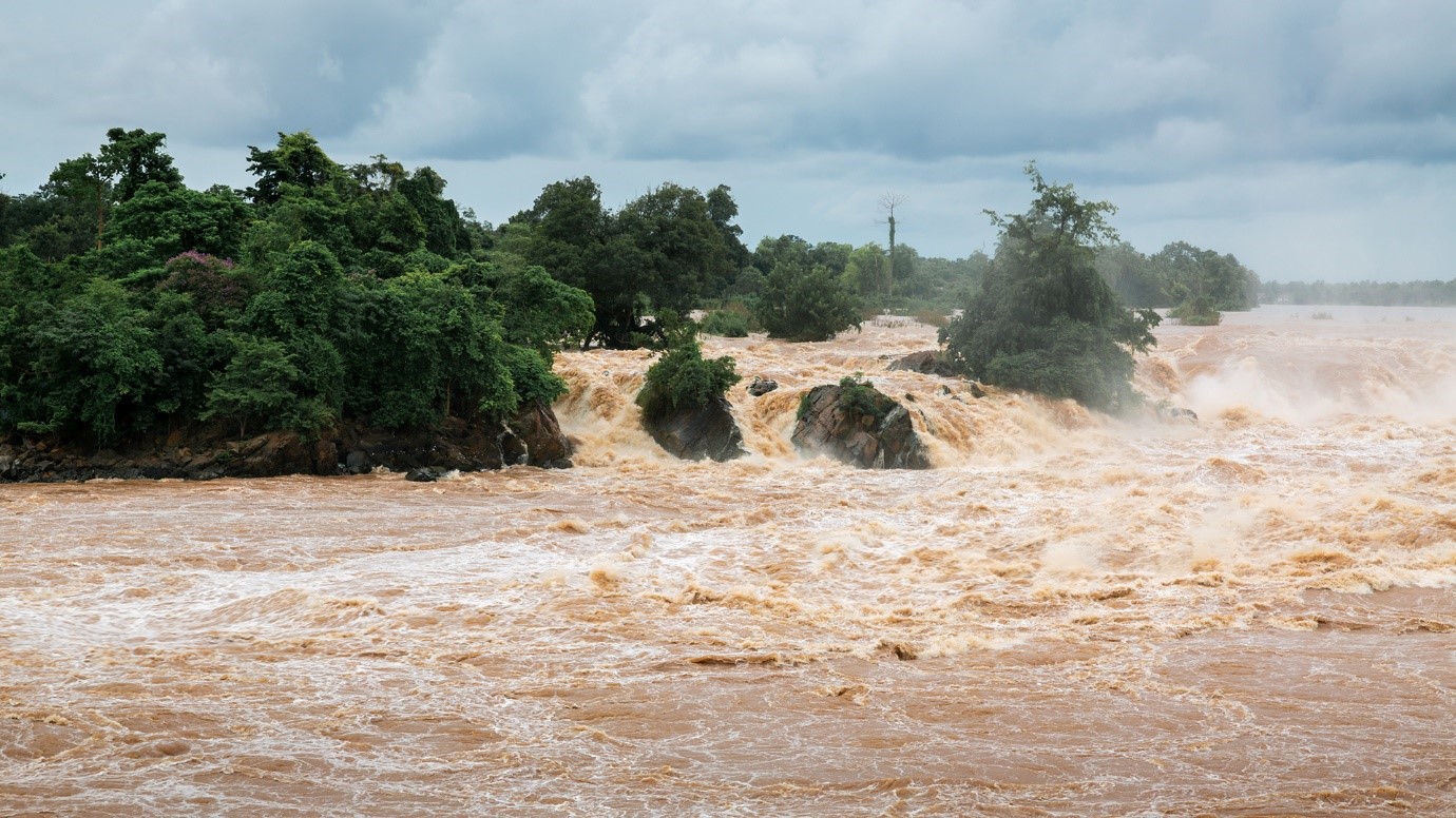
- Remote sensing applications have been instrumental in hazard assessment and disaster monitoring, allowing for the prediction and tracking of natural events such as hurricanes, floods, and wildfires, among others.
- By analyzing historical data and topography patterns through remote sensing technologies, authorities can map potential hazard zones which is vital for urban planning and risk reduction.
- In addition to this predictive capability, remote sensing also excels at delivering real-time data during an ongoing crisis.
- Effective disaster response requires timely information regarding the extent of damage incurred and the progression of the event.
- Remote sensing technologies offer just that – immediate access to detailed representations of affected regions, which facilitates faster decision-making processes on evacuation strategies or resource allocation.
- The advent of satellite imaging combined with advanced computational algorithms has further expanded this field’s potential for more accurate damage assessment following a natural disaster.
Combining GIS and remote sensing
- Harnessing the synergy between GIS and remote sensing can significantly enhance capabilities in disaster preparedness, response, and recovery.
- The integration of these geospatial technologies allows for a comprehensive understanding of the terrain and environmental conditions before, during, and after a disaster event.
- Data integration from various sources, including satellite imagery, forms the foundation for this robust approach.
- With such rich datasets at their disposal, disaster management personnel can perform detailed spatial analysis to assess risk levels, identify vulnerable areas, predict potential disasters, plan evacuation routes, and coordinate effective disaster response efforts.
- Incorporating predictive modelling into this process further extends its effectiveness by providing early warnings based on historical data patterns and real-time updates.
Spatial analysis with GIS includes:
- Risk assessment: Identifying high-risk zones based on geographical factors
- Vulnerability mapping: Highlighting regions prone to specific types of disasters
- Predictive modeling using remote sensing data enables:
- Hazard prediction: Using historical data to potential disasters
- Real- monitoring: Tracking the progression of ongoing events for immediate response
- Through such synergistic application of GIS and remote sensing technologies, geospatial data becomes a powerful tool in aiding efficient disaster management strategies that aim to protect lives and resources against the devastating impacts of natural calamities
- The power of geospatial technologies unfolds in their unmitigated ability to manage natural disasters.
- Draped in digital data, these tools transform tumultuous times into structured systems, enabling efficacious emergency responses and recovery processes.
|
PRACTICE QUESTION
Discuss the significance of geospatial technologies, such as remote sensing and GIS, in disaster management. Provide examples of how these technologies have been used in recent disaster events in India.
|