Description
Disclaimer: Copyright infringement not intended.
Context
- Global Positioning System (GPS) is a ubiquitous technology used worldwide for navigation, tracking, and location-based services.
- Developed by the United States Department of Defense, GPS has evolved from its military origins to become an integral part of various civilian applications across industries.
Details
History of GPS
- The concept of GPS originated in the 1960s with the launch of the first navigation satellites.
- The United States military initially developed GPS for military use to provide accurate positioning and navigation for troops and vehicles.
- The system became fully operational in the 1990s and was made available for civilian use.
- Over time, the technology has evolved, leading to improved accuracy, reliability, and accessibility.
GPS Technology and Functioning
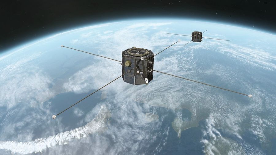
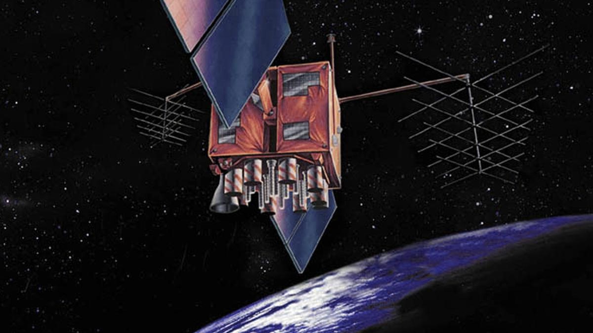
- Satellite Constellation: GPS operates through a network of satellites that orbit the Earth. As of the latest information, there are around 30 satellites in the GPS constellation, strategically positioned to ensure global coverage.
- Triangulation Principle: GPS relies on the principle of triangulation. A GPS receiver on Earth determines its location by analyzing signals received from multiple satellites. By calculating the time it takes for signals to travel from the satellites to the receiver, along with the satellites' known positions, the receiver can accurately pinpoint its location.
- Signal Transmission: Satellites continuously transmit radio signals containing precise timing and positioning data. These signals travel at the speed of light and are picked up by GPS receivers, which interpret the information to determine location, velocity, and time.
- Accuracy and Precision: Modern GPS systems can provide highly accurate location data, typically within a few meters. Differential GPS (DGPS) and Real-Time Kinematic (RTK) systems further enhance accuracy, enabling centimeter-level precision.

GPS and Its Components
- Space Segment: Comprising 24 satellites orbiting the Earth, transmitting precise signals containing timing, position, and operational data.
- Control Segment: Consists of ground-based stations monitoring satellites, ensuring their performance, and transmitting necessary commands to maintain system accuracy.
- User Segment: Utilized across various sectors such as agriculture, logistics, telecommunications, aviation, and military operations.
Precision and Corrections
- Error Corrections: Adjustments are made for factors affecting accuracy, including corrections for satellite clock discrepancies due to time dilation and weaker gravitational potential.
- Atomic Clocks: Satellites are equipped with atomic clocks synchronized with ground-based reference clocks to maintain precise timing essential for accurate positioning.
Applications of GPS
- Navigation: GPS is widely used for personal navigation in cars, smartphones, aviation, maritime, and outdoor activities like hiking and geocaching.
- Mapping and Surveying: GPS technology aids in creating accurate maps, conducting land surveys, and monitoring changes in the Earth's surface.
- Fleet Management: Businesses use GPS to track vehicles, optimize routes, and manage logistics.
- Emergency Response: GPS enables emergency services to locate and reach individuals in distress accurately.
- Precision Agriculture: Farmers utilize GPS for precise crop monitoring, automated machinery control, and efficient resource management.
- Scientific Research: GPS is integral in various scientific endeavors, including studying Earth's movement, plate tectonics, and climate change.
Global Navigation Satellite Systems (GNSS) Overview
- GNSS refers to a collection of satellite-based navigation systems worldwide.
- Countries like the United States (GPS), Russia (GLONASS), the European Union (Galileo), China (BeiDou), Japan, India, and others operate their GNSS systems to provide global coverage and location-based services.
India's Contribution to GNSS:
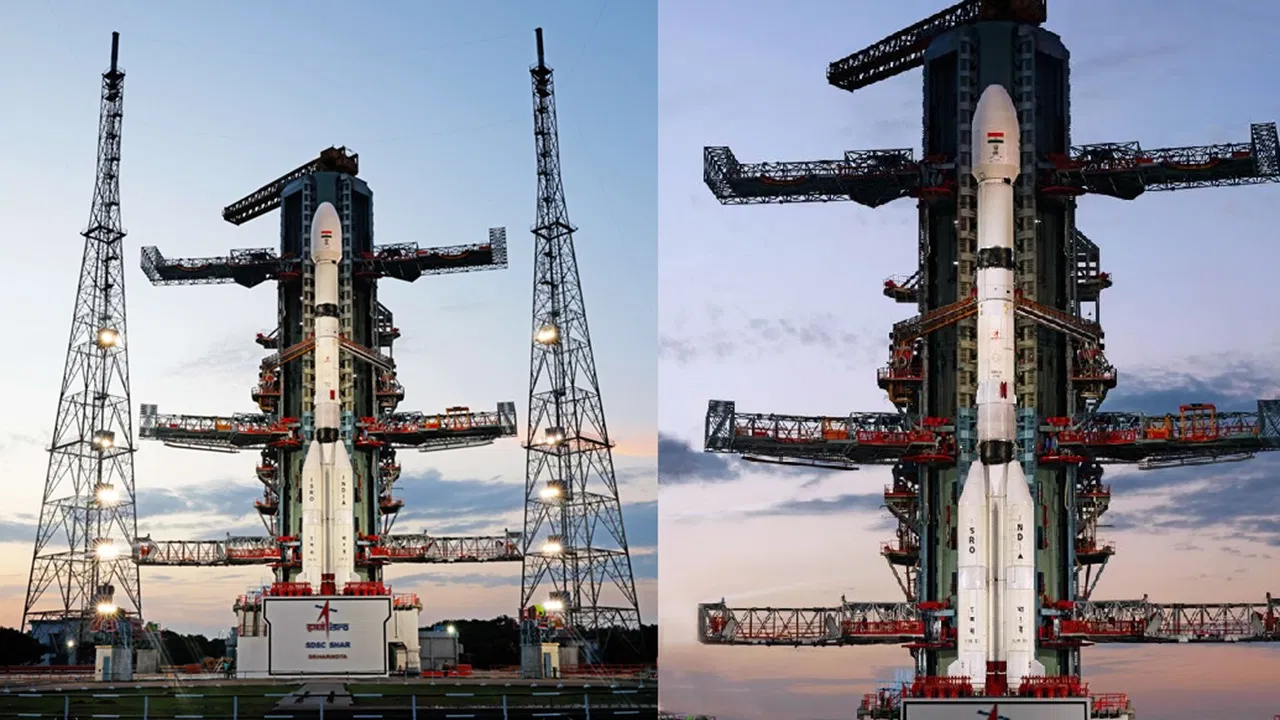
- Indian Regional Navigation Satellite System (IRNSS/NavIC): India's indigenous navigation system consists of seven satellites (three geostationary and four geosynchronous) offering regional coverage.
- Navigation with Indian Constellation (NavIC): Operated by ISRO, NavIC uses rubidium atomic clocks and transmits data in multiple frequency bands (L5, S, and L1).
- GPS-Aided Geo Augmented Navigation (GAGAN): Developed by ISRO and the Airports Authority of India, GAGAN provides safety-of-life civil aviation applications and offers correction and integrity messages for GPS.
International Cooperation and Compatibility:
- GNSS Collaboration: Various nations collaborate to ensure compatibility and interoperability among their respective satellite navigation systems.
- Global Coordination: Efforts by the International Committee on GNSS under the United Nations Office of Outer Space Affairs aim to promote voluntary cooperation and mutual interest among GNSS operators worldwide.
Future Developments:
Integration with emerging technologies like augmented reality (AR), autonomous vehicles, and the Internet of Things (IoT) is expected to expand GPS applications further.

Conclusion
In conclusion, GPS has become an indispensable tool in modern life, revolutionizing navigation, enabling precise location-based services, and finding applications in diverse fields. With ongoing technological innovations, GPS continues to evolve, offering new possibilities and shaping the future of navigation and positioning systems.
|
PRACTICE QUESTION
Q. Discuss the global impact of the Global Positioning System (GPS), highlighting its significance in various sectors and the role of international cooperation in satellite navigation systems. Also, elaborate on the contributions made by India in the field of satellite navigation technology with specific reference to NavIC and GAGAN. (250 Words)
|
Array
(
[0] => daily-current-affairs/global-positioning-system
[1] => daily-current-affairs
[2] => global-positioning-system
)