Description
Copyright infringement not intended
Picture Courtesy: eGyan Darshan
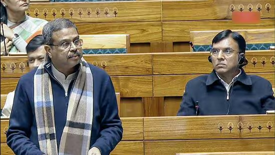
Context: The Gram Manchitra initiative aims to empower Gram Panchayats for effective spatial planning at the grassroots level, as announced by the Union Minister of State for Panchayati Raj in Lok Sabha.
Gram Manchitra Application
- The primary goal of the Gram Manchitra application is to empower Gram Panchayats with a robust platform for spatial planning, leveraging geospatial technology.
Functionalities
- Unified Geo-Spatial Platform: The application serves as a centralized platform for Gram Panchayats to visualize and plan developmental works across multiple sectors. This includes infrastructure development, natural resource management, sanitation, agriculture, and more.
- Decision Support System: Gram Manchitra provides various planning tools that utilize GIS technology. These tools aid Gram Panchayat officials in devising practical and achievable development plans. Some of these tools include:
- Identification of Potential Sites: By utilizing geographic data, the application helps in identifying optimal locations for new development projects.
- Asset Tracking: The application facilitates tracking and management of assets through geo-tagging, ensuring transparency and effective utilization of resources.
- Cost Estimation: Tools are available to estimate the costs associated with different projects, aiding in budgeting and resource allocation.
- Impact Assessment: Allows assessment of the potential impact of proposed projects on the local community and environment.

mActionSoft Mobile-Based Solution
- Complementing Gram Manchitra, mActionSoft is a mobile-based solution designed to capture photos with geo-tags (GPS Coordinates) specifically for works where assets are created as outputs.
Geo-Tagging Process
- Three-Stage Geo-Tagging: The mobile application enables the geo-tagging of assets at three crucial stages of development projects: before the commencement of work, during the work progress, and upon completion of the work.
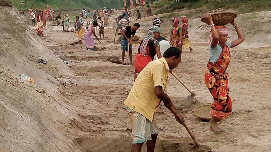
- Asset Repository: This initiative helps create a comprehensive repository of information related to various developmental works, such as natural resource management, water harvesting, sanitation, agriculture, etc. It ensures a detailed record of assets and their development stages.
Integration with Gram Manchitra
- The assets geo-tagged using mActionSoft are seamlessly integrated into the Gram Manchitra application. This integration enhances the visual representation and mapping of various developmental works within Gram Panchayats.
Geo-Tagging Finance Commission Funded Assets
- Assets created under the finance commission funds are geo-tagged using photographs by the respective Panchayats.
- The GIS data of these geotagged assets can be visualized on the map of the Panchayat within the Gram Manchitra application.

Conclusion
- The initiatives collectively aim to leverage modern technology to empower local governance bodies. They enable efficient planning, monitoring, and decision-making for development projects at the grassroots level. The use of GIS technology and geo-tagging ensures transparency, effective asset management, and informed decision-making, crucial for sustainable rural development.
|
PRACTICE QUESTION
Q. How does the Panchayat system contribute to fostering rural development in India, and what specific mechanisms or initiatives does it employ to address the diverse socio-economic challenges faced by rural communities?
|