Disclaimer: Copyright infringement not intended.
Context
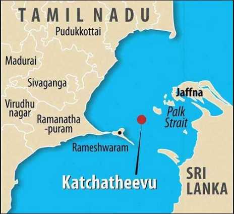
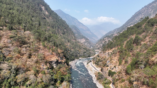
Geography
Historical Background
Post Independence
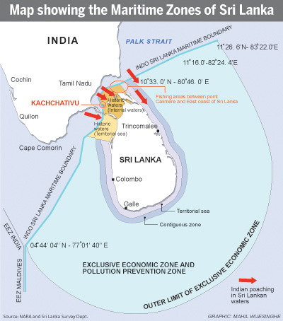
Palk Strait
https://epaper.thehindu.com/Home/ShareArticle?OrgId=G389ALPRD.1&imageview=0


© 2025 iasgyan. All right reserved