Description

Copyright infringement not intended
Context - The Khasi Hills Autonomous District Council has opposed some provisions of the Assam-Meghalaya border dispute resolution.
Details
- The Khasi Hills Autonomous District Council has opposed the Meghalaya government’s deal with Assam to settle a 50-year-old boundary dispute.
- The Khasi Hills Autonomous District Council stated that “the dispute areas belong to private parties and the Meghalaya government has neither the authority nor the right to hand them over to Assam”.
- The government need to take the council’s consent according to the Right to Fair Compensation and Land Acquisition and Rehabilitation and Resettlement Act, 2013, before any handover.
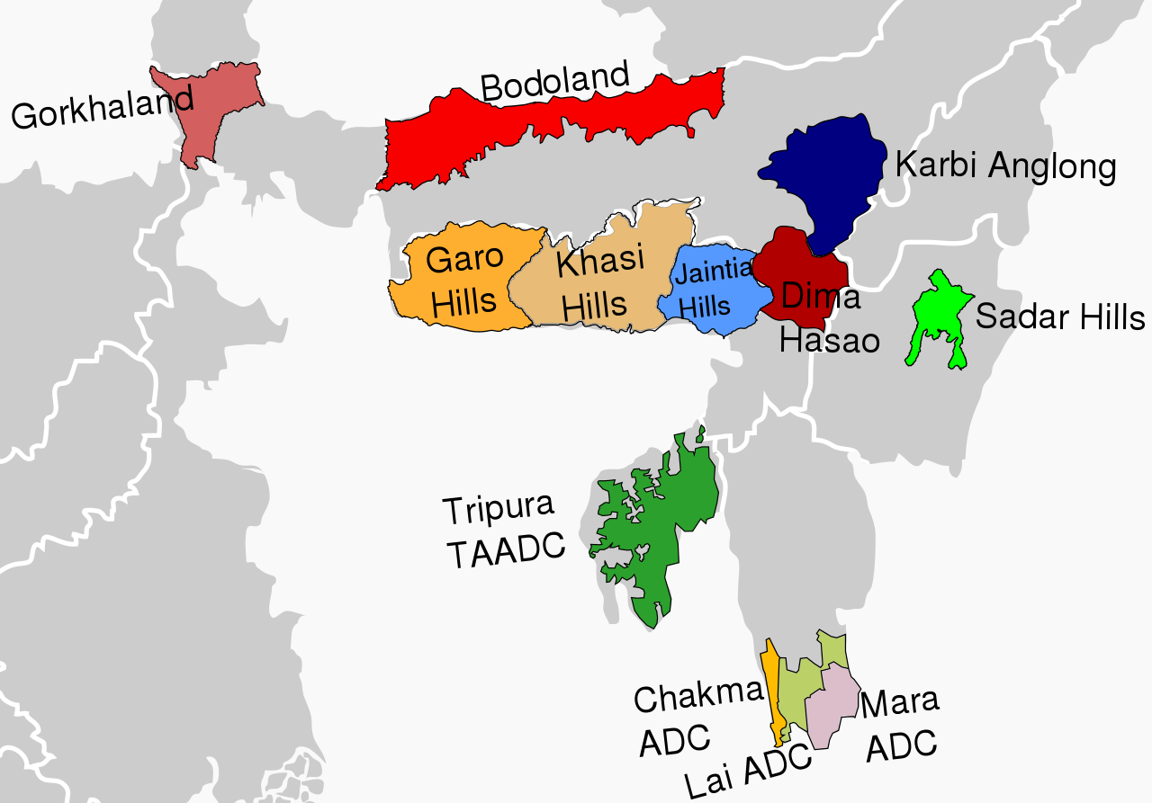
- The Khasi Hills Autonomous District Council is one of three tribal councils in Meghalaya created under the 6th Schedule of the Constitution.
- The state government of Meghalaya has said that the agreement was based on a list of disputed sectors submitted to Assam in 2011, and cannot be reviewed.
- The deal remains to be ratified by Parliament and the Assemblies of the two States concerned before the boundary is redrawn.
- The residents of border villages have said that they will not give up without a fight.
- They fear they will lose their tribal rights if they are separated from Meghalaya.
Autonomous District Councils
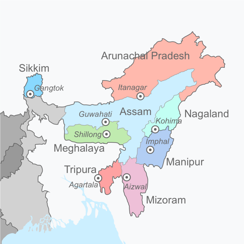
- The 6th Schedule of the Indian Constitution deals with the administration of the tribal areas in the 4 north-eastern states of Assam, Meghalaya, Tripura and Mizoram as per Article 244.
- The 6th Schedule of the Indian Constitution allows for the formation of autonomous administrative divisions which have been given autonomy within their respective states.
- The State Governor is authorised to increase or decrease the areas or change the names of the autonomous districts.
- Executive powers of the State extend to 6th Scheduled areas with respect to their administration.
- The acts of the Parliament or the state legislature do not apply to these autonomous districts and autonomous regions or apply with specified modifications and exceptions.
- These Autonomous Councils have been granted wide civil and criminal judicial powers, such as establishing village courts etc.
- The jurisdiction of these councils is under the jurisdiction of the concerned High Court.
Background of the Assam-Meghalaya conflict
- Meghalaya was carved out of Assam as a separate state in 1972 but the new state had challenged the Assam Reorganisation Act, 1971, leading to disputes in 12 locations in the border areas.
The major point of dispute
- Meghalaya's Langpih district, bordering the Kamrup district of Assam, in West Garo Hills, is a major point of contention between the two neighbouring states.
- Langpih was part of the Kamrup district of Assam during the British colonial period but after India's Independence in 1947; it became part of the Garo Hills and Meghalaya.
- Another point of contention is the Mikir Hills, which Assam considers to be its part.
- Meghalaya has questioned Blocks I and II of the Mikir Hills, now Karbi Anglong region, being part of Assam.
- Meghalaya says these were parts of erstwhile United Khasi and Jaintia Hills districts.

Copyright infringement not intended
Earlier efforts made to resolve the border issue
- The two states have formed border dispute settlement committees.
- Recently, the Chief Minister of both states had decided to set up two regional panels to resolve the border disputes in a phased manner.
- The panel recommended 5 aspects were to be considered in resolving the border dispute;
- Historical facts
- Ethnicity
- Administrative convenience
- Mood and Sentiments of the people concerned
- The closeness of the land
Key points of the Border Agreement
- Out of the 12 points of dispute between Assam and Meghalaya, the six areas with relatively less critical differences were taken up in the first phase.
- Assam and Meghalaya have partially resolved a 50-year-old border dispute in 6 of the 12 sectors along their 885-km boundary.
- The 6 disputed sectors are Tarabari, Gizang, Hahim, Boklapara, Khanapara-Pillangkata and Ratacherra under the Kamrup, Kamrup (Metro) and Cachar districts of Assam and the West Khasi Hills, Ri-Bhoi and East Jaintia Hills districts of Meghalaya.
- The two States had in June 2021 adopted a “give-and-take” policy to start the process of resolving the boundary dispute by constituting three regional committees each.
- The draft resolution, prepared on the basis of the recommendations of the regional panels, proposed dividing the disputed 36.79 sq. km of land into the six areas of difference between the two States.
- While Assam will get 18.51 sq. km of the disputed areas, Meghalaya will get the remaining 18.28 sq. km.
https://www.thehindu.com/news/national/other-states/meghalaya-tribal-council-opposes-border-deal-with-assam-says-govt-needs-its-consent-for-handover/article65332168.ece


