Description
Disclaimer: Copyright infringement not intended.
Context
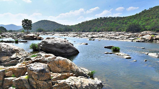
- Lake Titicaca's water levels have now reached record lows, exacerbated by the El Nino weather phenomena, which has combined a long dry spell with unusually high temperatures.
About
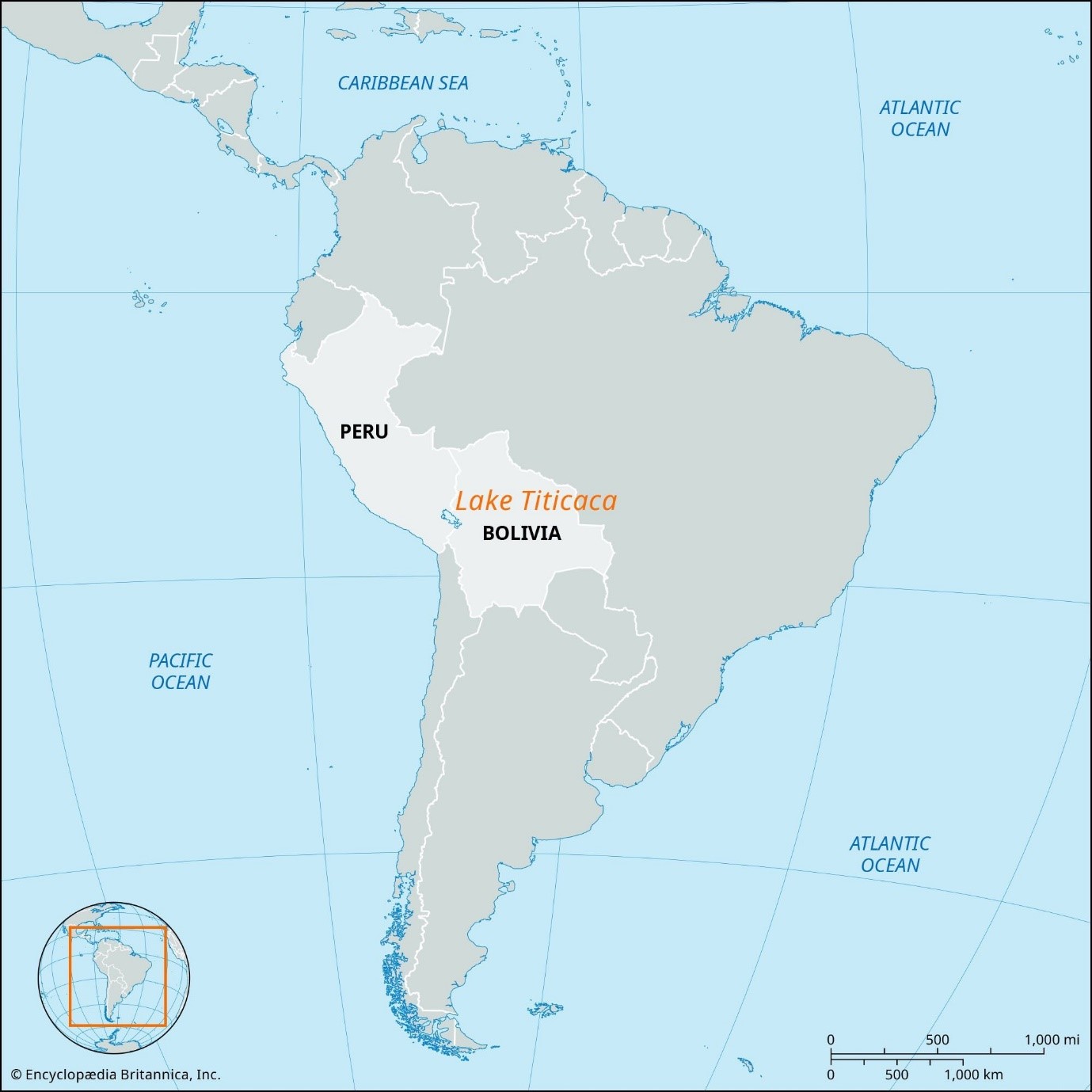
- It is the world's highest navigable body of water, located in South America's Andes Mountains.
- It stands on the border between Peru to the west and Bolivia to the east.
- It is South America's second-largest lake (after Maracaibo).
- More than 25 rivers empty their waters into Titicaca, with the Ramis draining over two-fifths of the Titicaca Basin.
- Titicaca's seas are home to 41 islands, the largest of which is Titicaca Island.
- Lake Titicaca is a Ramsar site of international significance.
- Titicaca is one of less than twenty ancient lakes on earth, and is thought to be there million years old.
- It covers 3 200 square miles (8 300 square km) and extends in a northwest-to-southeast direction for a distance of 120 miles (190 km).
- It is 50 miles (80 km) across at its widest point. A narrow strait, Tiquina, separates the lake into two bodies of water.
- The smaller, in the southeast, is called Lake Huinaymarca in Bolivia and Lake Pequeño in Peru.
- The lake averages between 460 and 600 feet (140 and 180 m) in depth, but the bottom tilts sharply toward the Bolivian shore, reaching its greatest recorded depth of 920 feet (280 m) off Isla Soto in the lake's northeast corner.
What are El Nino and La Nina?
- El Nino and La Nina episodes occur every two to seven years on average (El Nino is more often than La Nina), but not on a regular basis, and scientists refer to them as the El Nino-Southern Oscillation (ENSO) cycle.
- El Nino is the warm phase of ENSO (a band of warmer water migrating from west to east in the equatorial Pacific Ocean), while La Nina is the cold phase (a band of cooler water spreading east to west).

What occurs when there is an El Nino?
- Trade winds lessen during El Nio.
- Warm water is pushed back east, towards the Americas' west coast.
- Rainfall in Ecuador and northern Peru has increased dramatically, contributing to coastal floods and erosion.
- El Nio gives rain to South America, but it also causes droughts in Indonesia and Australia.
- The eastward shift of marine and atmospheric heat sources generates exceptionally harsh winter weather in North and South America's higher latitudes.
|
PRACTICE QUESTION
Examine the causes and consequences of El Niño events on global climate patterns.
|