NAKSHA, a centrally funded initiative under the Digital India Land Records Modernization Programme, updates urban land records. Launched by the Union Rural Development Minister, it employs drone surveys and ground verification to create accurate geospatial maps. The pilot covers 152 urban bodies in 26 states, improving governance and tax collection.

Copyright infringement not intended
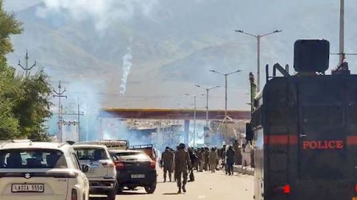
Picture Courtesy: INDIANEXPRESS
The NAKSHA scheme launched by the Union Rural Development Minister to address outdated or non-existent land records in urban areas.
It operates under the Digital India Land Records Modernization Programme (DILRMP) and is led by the Department of Land Resources (DoLR) under the Ministry of Rural Development.
Its core objective is to create accurate geospatial maps of urban areas, establishing a comprehensive digital database for urban land records.
The pilot phase covers 152 urban local bodies (ULBs) across 26 states, targeting cities with:
Most Indian cities lack updated maps or structured land records, except in states like Tamil Nadu, Maharashtra, Gujarat, and Goa. This restricts urban governance, taxation, and planning.
The Union Finance Minister highlighted the need for urban land digitization in the 2024 and 2025 Union Budgets, stressing GIS mapping and IT-based property administration to boost municipal finances and urban reforms.
NAKSHA tackles issues like inefficient governance, tax collection gaps, land disputes, and poor urban planning due to inaccurate records.
Drones equipped with high-resolution cameras (5 cm ground resolution) and LiDAR sensors capture aerial imagery. This resolution is superior to satellites (e.g., ISRO’s 50 cm, European Space Agency’s 30 cm).
Two camera types are used: simple cameras for basic mapping and oblique-angle cameras for 3D terrain data.
Ground verification links property tax, ownership, and registration records to land parcels.
2D/3D models are created, and draft ownership details are published for public review.
A redressal mechanism resolves disputes before finalizing maps and records .
100% Centrally Funded: The pilot project costs ₹194 crore, with per sq km costs ranging from ₹25,000 (simple cameras) to ₹60,000 (3D cameras).
Technology Integration: Uses drones, LiDAR, GIS mapping, and AI-driven analytics to ensure accuracy.
Reduced Land Disputes: Clear ownership records will minimize conflicts.
Efficient Urban Planning: Accurate geospatial data will aid infrastructure development.
Improved Tax Collection: Better records will boost municipal revenues.
Simplified Transactions: Digitized records will streamline property sales and credit access .
Must Read Articles:
Source:
|
PRACTICE QUESTION Q.Examine the implications of land fragmentation on agricultural productivity and rural development in India. 150 words |


© 2025 iasgyan. All right reserved