Disclaimer: Copyright infringement not intended.
Context
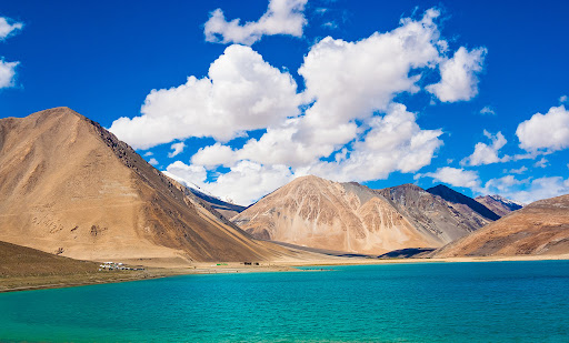
Geography
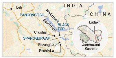
Pangong Tso and LAC
Recognition
Must Read: https://www.iasgyan.in/blogs/india-china-border-dispute-decoded
https://epaper.thehindu.com/Home/ShareArticle?OrgId=G359R5023.1&imageview=0


© 2025 iasgyan. All right reserved
