Description
Context: India became the fourth country in the world to have its independent regional navigation satellite system recognised by the International Maritime Organisation (IMO) as a part of the World Wide Radio Navigation System (WWRNS).
- The navigation system can now replace GPS in the Indian Ocean waters upto 1500 km from the Indian boundary.
- Merchant vessels in Indian waters can now use the “modern and more accurate” system as an alternative navigation module.
What is the Indian Regional Navigation Satellite System?
- The IRNSS is an independent regional navigation satellite system developed by India.
- It is designed to provide accurate position information service to assist in the navigation of ships in the Indian Ocean waters.
- It could replace the US-owned Global Positioning System (GPS) in the Indian Ocean extending up to approximately 1500 km from the Indian boundary.
What does the International Maritime Organisation’s (IMO) recognition of the IRNSS mean?
- The IMO is the United Nations’ specialised agency responsible for the safety and security of shipping and the prevention of marine and atmospheric pollution by ships.
- With the recognition as a component of the of the WWRNS, the Indian navigation system is similarly placed as GPS, most commonly used by marine shipping vessels across the world or the Russian Global Navigation Satellite System (GLONASS).
- After the US, Russia and China that have their own navigation systems, India has become the fourth country to have its independent regional navigation system.
- Unlike GPS, however, IRNSS is a regional and not a global navigation system.
- It is a “significant achievement” towards the ‘Atmanirbhar Bharat’
Who can make use of the IRNSS?
- While the system will be open to all including security agencies, as of now, all merchant vessels including small fishing vessels are authorised to use the system.
- Vessels that have transponders installed in them will be tracked by satellite navigation showing accurate position in the Indian Ocean region.
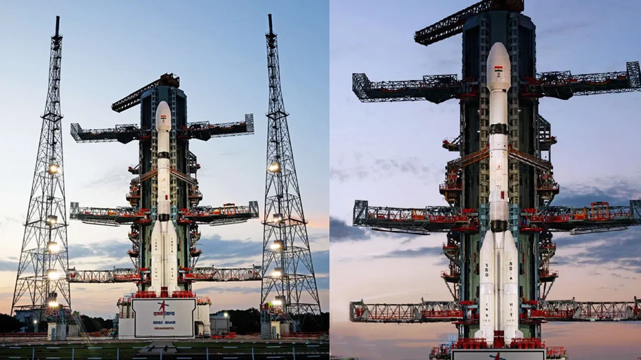
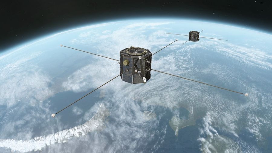
- IRNSS system is based on the Indian Space Research Organisation’s (ISRO) satellites that are used for navigation.
Why was it necessary for India to have its own navigation system?
- An overdependence on one system (GPS) cannot be safe.
- The IMO had encouraged countries to design their own navigation systems.
https://indianexpress.com/article/explained/explained-what-is-irnss-regional-navigation-satellite-system-7060146/
Array
(
[0] => daily-current-affairs/regional-navigation-satellite-system-or-irnss
[1] => daily-current-affairs
[2] => regional-navigation-satellite-system-or-irnss
)