Description
Disclaimer: Copyright infringement not intended.
Context
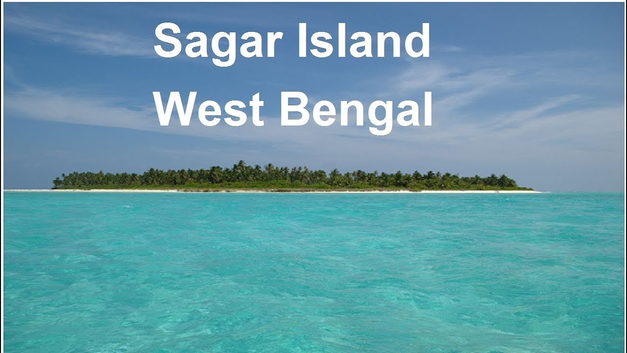
Climate-impacted Sagar island witnesses’ 10 million pilgrims take holy baths in Ganga Sagar
Detail
- It is an Island in the Ganges delta, lying on the continental shelf of Bay of Bengal.
This Island falls under South 24 Parganas District in West Bengal.
- Sagar Island is a part of Sundarbans,it does not have any tiger habitation or mangrove forests or small river tributaries as is characteristic of the overall Sundarban delta
- This island is a place of Hindu pilgrimage. Every year on the day of Makar Sankranti, during Gangasagar Mela, Hindus gather to take a holy dip at the confluence of river Ganges and Bay of Bengal and offer prayers in the Kapil Muni Temple.
Climate change effect
- Sagar Island has become emblematic for climate scientists and researchers as a climate change “hotspot” and a glimpse into what India’s climate future may look like.
- Coastal erosion is happening here faster than anywhere in the world. NASA Landsat satellite imagery shows that the sea level has risen in the Sundarbans by an average of 3 centimeters (1.2 inches) a year over the past two decades, and the area has lost almost 12 percent of its shoreline in the last four decades.
Reason for coastal erosion:
- Human interventions, including the removal of sand dunes and vegetation for Mela ground extension
- Violations of Coastal Regulation Zone in constructions on Sagar Island
- The impact of reduced sediment influx from the Ganga-Meghna-Brahmaputra river system, leading to land loss in the Sundarbans.
- According to scientists, an exponential increase in the number of pilgrims coming to the Ganga Sagar Mela, which takes place at the Sagar Island every year during Makar Sankranti, has been responsible for the worsening water pollutionh.
Way forward
- Coastal Zone Management Authorities(CZMAs) in the coastal States and Union Territories must consider including the recommendations made by an expert panel on the issue of dangers of sea level rise and submergence of low-lying lands into the Integrated Island Management Plans (IIMPs).
|
Consider the following statements
1.Sagar Island, the westernmost island of the Ganges-Brahmaputra delta, West Bengal state.
2.It lies at the mouth of the Hooghly River, an arm of which separates it from the mainland to the east.
3.It is situated at a point where the Ganga River once met the Bay of Bengal, the island is held to be particularly sacred and is a noted Hindu pilgrimage center.
4.This island is also known as Gangasagar island.
How many statements given above is/are correct?
- Only one
- Only two
- Only three
- All four
Answer D
|