Description
Copyright infringement not intended
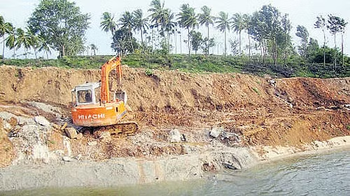
Picture Courtesy: https://www.deccanherald.com/india/karnataka/curb-illegal-sand-mining-in-sharavathi-river-ngt-tells-govt-3042382
Context: The National Green Tribunal (NGT) has directed the State Environment Impact Assessment Authority (SEIAA) and mines and geology department to stop unlawful sand mining in the Sharavathi River coastal zone, citing environmental clearance issues.
|
National Green Tribunal (NGT)
- Established in 2010 under the National Green Tribunal Act to handle environmental protection cases.
- The Tribunal has a mandate to dispose of applications and petitions within six months.
- The Tribunal's composition includes a chairperson, ten Judicial Members, and ten Expert Members.
- The tribunal has powers to decide on questions for implementing laws and be heard on all civil cases dealing with environmental issues.
- An order can be reviewed as per Rule 22 of the National Green Tribunal Rules or challenged within 90 days before the Supreme Court.
- The principal NGT bench is located in Delhi, with other benches in Bhopal, Pune, Kolkata, and Chennai.
- The tribunal is governed by principles of natural justice and is not bound by the Indian Evidence Act.
|
Sharavati River
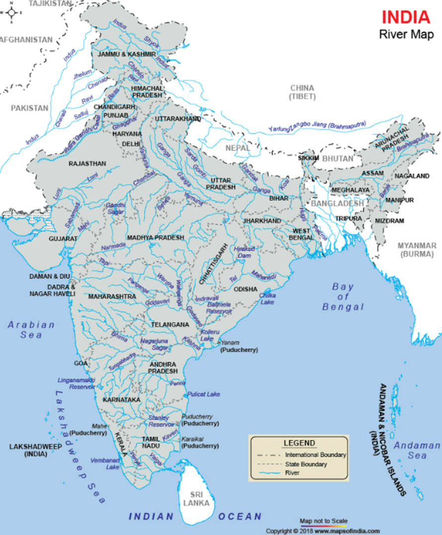
- The Sharavati River, flowing entirely within Karnataka, originates in the Western Ghats and eventually joins the Arabian Sea at Honnavar.
Origin and Topography
- The Sharavati River originates at Ambutheertha in the Thirthahalli taluk.
- The river forms Jog Falls, from a height of 253 m. Its flow is controlled by the Linganamakki dam.
- Major tributaries include Nandihole, Haridravathi, Mavinahole, Hilkunji, Yennehole, Hurlihole, and Nagodihole.
Geology
- The river basin primarily consists of pre-Cambrian rocks, including the Dharwar system and peninsular gneiss.
- The Dharwar system contains metamorphic rocks rich in iron and manganese, while peninsular gneiss comprises granite, granodiorite, and migmatite
- Soils are mainly lateritic, acidic, and reddish-brown in colour, including clay loamy, clayey, clayey-skeletal, and loamy types.
- The basin receives heavy rainfall, ranging from 6000 mm in the west to 1700 mm in the east annually.
- Most rainfall (about 95%) occurs during the southwest monsoon from June to September, with some post-monsoon and summer rainfall.
Flora and Fauna
- The basin hosts rich biodiversity, including 23 amphibian species, many endemic to the Western Ghats. Notable species include the lion-tailed macaque, tiger, leopard, wild dog, various deer species, and a variety of reptiles and avian species.
- Sharavathi Valley Wildlife Sanctuary supports diverse flora and fauna, including endangered species like the lion-tailed macaque.
Source:
Deccanherald
Britannica
|
PRACTICE QUESTION
Q. Consider the following statements in the context of the Sharavati River.
1. Originates in the Eastern Ghats.
2. Flows southward into the Bay of Bengal.
3. Forms the Jog Falls before merging with the Arabian Sea.
4. Divides into two branches, one flowing into the Indian Ocean and the other into the Arabian Sea.
How many of the above statements are incorrect?
A) Only one
B) Only two
C) Only three
D) All four
Answer: C
|


