Description
Copyright infringement is not intended
Context: Ministry of Panchayati Raj Stated that “SVAMITVA” aims to provide the ‘Record of Rights’ to village household owners.
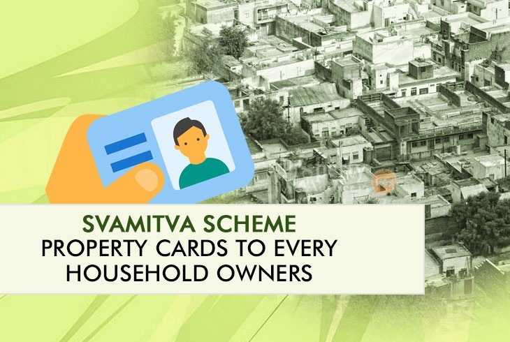
SVAMITVA Scheme
- SVAMITVA stands for ‘Survey of Villages Abadi and Mapping with Improvised Technology in Village Areas’.
- SVAMITVA Scheme was launched in 2020 under the Ministry of Panchayati Raj.
- It aims to provide Record of Rights/Property Cards in rural areas through surveying drone technology.
- It aims to cover all the villages by 2025.
Expected outcome of SVAMITVA Scheme
- It will help in creating accurate land records for rural planning and reduce property related disputes.
- It will bring financial stability in rural India by enabling people to use their property as a financial asset for taking loans and other financial benefits.
- It will help in improving rural area governance, proper assessment of property tax, and also help the government in the implementation of welfare schemes.
Present Status
- Digital mapping through Drones has been completed in more than 1,10,000 villages in 28 States and UTs.
- Digital mapping has been completed in all the villages of Haryana, Dadra Nagar Haveli, and Daman & Diu.
- Nearly 41 Lakh property cards have been prepared and 36 Lakh property cards have been distributed.
Significance of SVAMITVA Scheme
- The digitization of land records will provide tamper-proof evidence of land ownership, and this will also reduce land related disputes.
- Digital mapping under SVAMITVA Scheme has promoted the drone ecosystem in the country.
- Increasing use of Drones will boost manufacturing industries, drone pilots and training institutes.
- It will promote MSMEs and Start-ups in the country.
- It will provide employment opportunities.
- Availability of digitized maps will support innovation in this sector.
Steps taken by government
- Government started Unique Land Parcel Identification Number (ULPIN) to facilitate IT-based management of land records. ULPIN is a unique ID of 14 digits for every plot of land in the country based on the longitude and latitude coordinates of the land.
- Government development National Generic Document Registration System (NGDRS) with the aim of `One-Nation One-Registration Software` will reduce the cost, time and number of visits required for the registration of land related documents.
- Government initiated a programme to promote Multilingual Land Records to provide land records in any of the 22 languages recognized by the Constitution.
Way forward
- The scheme will help in facilitating monetization of properties and enabling bank loans, reducing property related disputes, and supporting village level planning.
- It is the right step taken in the direction of achieving Gram Swaraj and making rural India AtmaNirbhar.
https://www.pib.gov.in/PressReleasePage.aspx?PRID=1806229
Array
(
[0] => daily-current-affairs/svamitva-scheme-31
[1] => daily-current-affairs
[2] => svamitva-scheme-31
)