Description

Disclaimer: Copyright infringement not intended.
Context
Indian scientists use machine learning to predict crustal movements in Tibetan Plateau.
Plateau
- A plateau is an elevated flat land.
- It is a flat-topped table land standing above the surrounding area.
- A plateau may have one or more sides with steep slopes.
- Plateaus, like mountains may be young or old.
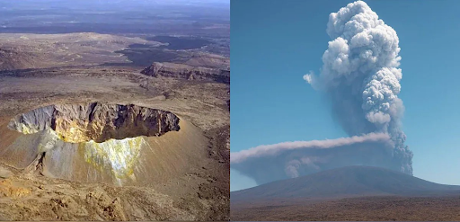
Formation:
The formation of a plateau requires one of the three types of tectonic processes that create mountain ranges—volcanism (Eg: Deccan Plateau) , crustal shortening (by the thrusting of one block or slice of crust over another or by the folding of layers of rock(Eg: Tibetan Plateau) , and thermal expansion (Eg: The massif Central in France, Ethiopian Plateau in Africa).
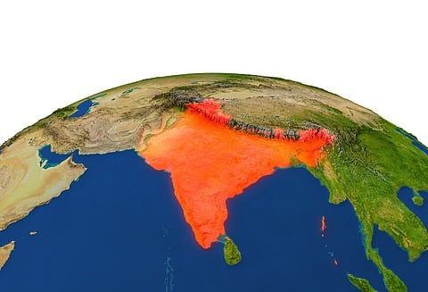
Tibetan Plateau
Known as "Roof of the World,".
Elevation:
The Tibet plateau is the highest plateau in the world with a height of 4,000 to 6,000 metres above the mean sea level.
Formation:
- The formation of the Tibetan Plateau is tied to Himalayan orogeny.
- The northward-moving Indian plate collided with the Eurasian plate.
- The movement resulted in strong uplift of the then southern edge of the Asian continental mass, which led to the uplift of the Tibetan plateau
- The rise occurred during the first 10 million years after the tectonic collision between Asia and India began 45 million years ago.
- Still growing, the Tibetan Plateau's spread has slowed to an annual growth rate of 7 cm wider per year.
Extent:
- With the Pamir Plateau to its west and the Loess Plateau in the East, the Tibetan Plateau starts from the southern margin of the Himalayas and stretches northward to the northern edge of the Kunlun Mountains and the Altun Mountain.
- Area: Total area: 2,500,000 square km (970,000 square miles).
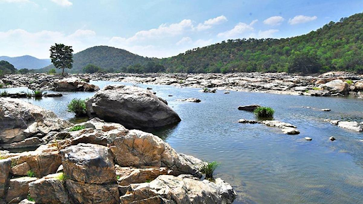
Drainage:
- Contain the headwaters of the Indus, Ganges, and Brahmaputra rivers, which flow southwards through the Indian subcontinent.
- The eastwards flowing rivers are the Yellow River I and the Yangtze, which flows east through China to the Yellow Sea.
- The southeastward flowing rivers are the Mekong and Salween in the Southeast Asian peninsula and the Irrawaddy River in Burma.
Lakes:
- Saltwater lakes: Qinghai Lake and Lake Namtso.
- Freshwater lakes on the plateau include Lake Manasarovar, Lake Yamdrok, and Lake Pangong Tso.
Canyon:
The deepest and longest canyon in the world is the Yarlung Tsangpo Grand Canyon located here.
Climate:
- The weather on the plateau depends on the altitude: temperature decreases with an increase of altitude.
- It is generally dry and cold in winter, while cool and rainy in summer, sometimes with hail.
- Tibetan plateau and Monsoon: The Tibetan plateau gets intensely heated during summer, which results in strong vertical air currents and the formation of low pressure over the plateau at about 9 km above sea level, which plays a significant role in advancement of south west monsoon.
Glaciers
The Tibetan plateau has more than 46,000 glaciers, 14.5 percent of the world’s total.
Wildlife
- Tibet is home to the Chang Tang Wildlife Reserve.
- One of endangered species is the chiru (Tibetan) antelope found here.
- Tibetan Brown Bear.
Threat
Global warming, Black carbon emission, pollution.
Other important Plateaus of the world

Recent news
- To obtain velocity vectors at desired locations, scientist, implemented machine learning techniques such as support vector machines, decision trees, and Gaussian process regression to accurately model crustal movement.
- The scientists analysed data from 1,271 permanent continuous and campaign-mode GPS stations located on the Tibetan plateau and its surrounding areas.
Political aspect of Tibet : https://www.iasgyan.in/daily-current-affairs/tibet-china-relations
Source:
https://ncert.nic.in/ncerts/l/fess206.pdf
https://www.chinahighlights.com/tibet/the-qinghai-tibet-plateau.htm
https://www.upi.com/Science_News/2017/06/07/Southern-half-of-the-Tibetan-Plateau-formed-by-rapid-uplift-seismic-data-shows/3211496849615/
https://ncert.nic.in/ncerts/l/iess104.pdf
|
PRACTICE QUESTION
Q. Consider the following rivers.
- Brahmaputra
- Ganges
- Yellow River
- Yangtze
Tibetan plateau contains how many of the headwaters of above mention river?
- Only one
- Only two
- Only three
- All four
Answer D
|