IAS Gyan

Daily News Analysis

YELAHANKA    

24th November, 2021 Geography


Disclaimer: Copyright infringement not intended.

Context

  • The unprecedented heavy rain and flooding in Bengaluru over the last few days have opened the Pandora’s box of unauthorised constructions on the city’s valleys and lake beds.
  • Yelahanka lake, Singapura lake, Allasandra lake and Amanikere lake overflowed leading to flooding.


The region

  • Yelahanka is a suburb of Bangalore in Karnataka.
  • It is older than the Bengaluru city which has now overgrown engulfing many of its neighbouring villages and towns.
  • It lies to the north of Bangalore City.


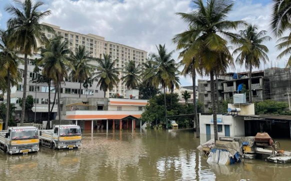
Flooding in Yelahanka

  • The city’s topography is characterised by a series of well-defined valleys which radiate from a ridge and fall gradually in all directions.
  • The four major valleys are Vrishabhavathi valley, Koramangala valley, Challaghatta valley and Hebbal valley.
  • The lakes were built across these valleys and floodwater used to flow through these valleys.
  • The lesser-known valleys are Marathalli in the east, Arkavathy and Kethamaranahalli in the northwest, Kathriguppe and Tavarekere in the south and they also play an important role in forming a natural drainage system where rainwater can flow through.
  • However, due to rapid urbanisation, these natural canals have been blocked by construction layouts, residential apartments and academic institutions.

https://indianexpress.com/article/explained/explained-bengaluru-neighbourhoods-flooded-rain-7637441/